Simulated vessel collision

Digital Forensics : Exploring alternative outcomes in maritime incidents

By providing in-depth marine accident analysis, we help authorities to understand the complexities of a shipping accident, come to a successful resolution and define mitigating measures.

Our simulation software can reconstruct maritime accidents such as collisions, allisions or groundings, which can then help identify the root cause of the incident and carry out simulations to investigate alternative scenarios.

Using our software combined with shipboard Voyage Data Recorder (VDR) data and regional automatic identification systems (AIS) information, we can produce accurate three-dimensional recreations of maritime accidents.

BMT REMBRANDT has been developed with commercial ship operators, pilots and statutory accident investigation bodies and provides the essential functionality of visual reconstruction and playback facility with a complete simulation to test the “what-if” scenario.

We help marine accident investigators explore the impact of different weather conditions and alternative rudder engine orders.

We simulate collisions and provide realistic physical and human behaviour scenarios. Using accurate simulations of specific vessel hulls, we can consider the impact of the marine environment, such as visibility, wind, wave height and current.

How it works

Maritime accident data

We integrate NMEA standard ship data, AIS data for traffic vessels, audio data from bridge mics, and screen capture from electronic chart display and information systems (ECDIS) and radar systems.

We regularly import data from multiple vessels to demonstrate alternative scenarios.

Time-stamped AIS data is automatically synced, allowing the seamless visual reconstruction of marine accidents involving various vessels. This source data is then combined with a customised hydrodynamic model to simulate the event.

Visual reconstruction of the environment

A 3D image is generated using a combination of the VDR data and bathymetry and land profiles from the electronic navigational chart (ENC).

Lights on traffic vessels are shown according to the ship status information provided by the AIS data.  The location and time of the sun and moon positions are calculated to provide representative lighting conditions.  Additional details from buoy, beacon and light information are also added to the simulation.

The user can move the viewpoint during playback and even switch to other vessels providing a holistic view of the environmental conditions.

Reconstruction and playback

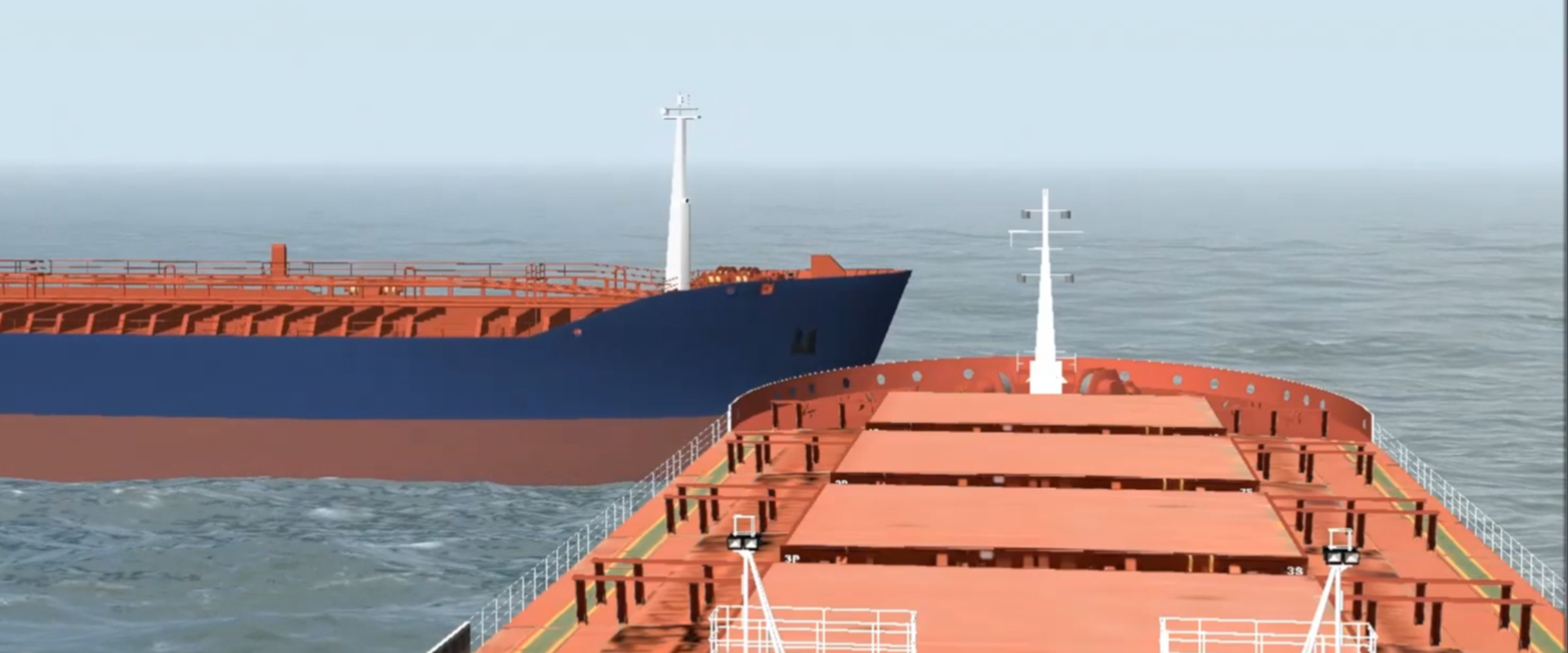
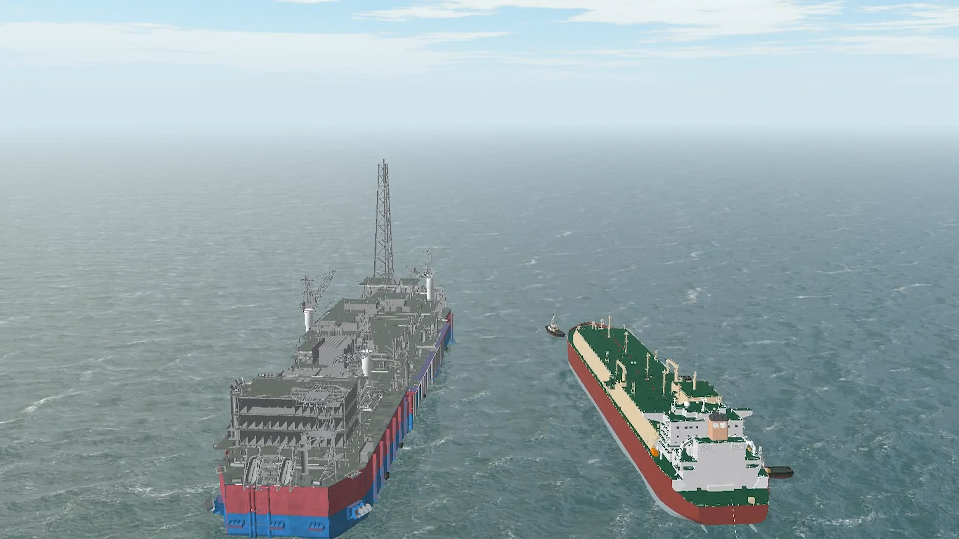
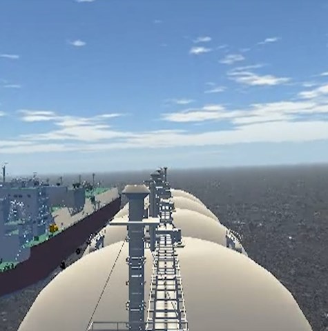
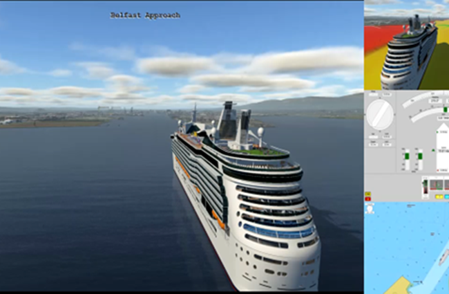
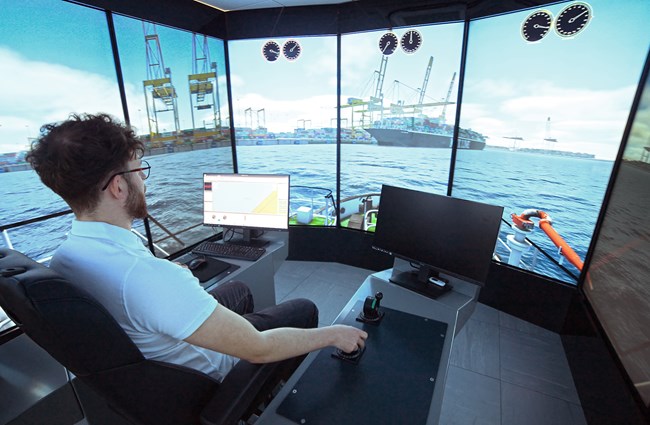
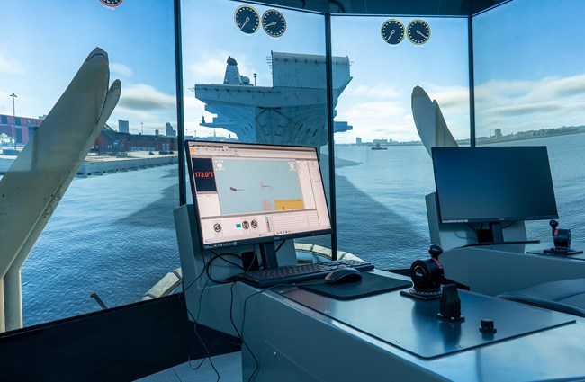
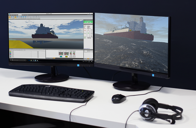
Following a visual accident reconstruction and playback, the next step is to test alternative outcomes explore other scenarios and the impact of onboard decisions.

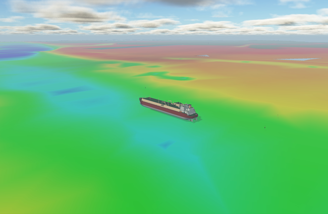
A fluid forces model calibrated with the prevailing weather and sea state conditions can be selected and overlaid on top of a VDR tracked vessel model and depth map within the playback functionality.

The user can then take complete control of the simulated vessel, which provides a powerful “what-if” added dimension to an essential 3D visual reconstruction, allowing users to explore alternative decisions and outcomes.

A liquified natural gas vessel at sea

Guidelines for Collecting Maritime Evidence

Dr Phil Thompson features in this Nautical Institute publication, looking at the topic of 'Using electronic data for visual reconstruction and analysis of collisions, allisions and groundings.

Read more