Flood AFR

Safe management of flood waters

Flood studies are an essential first step towards understanding and managing flood risk. They illustrate flood behaviour and risk, quantify the impact of changes to hydrologic regimes and riverine channels/floodplains, and inform planning and environmental studies.

Contact Us

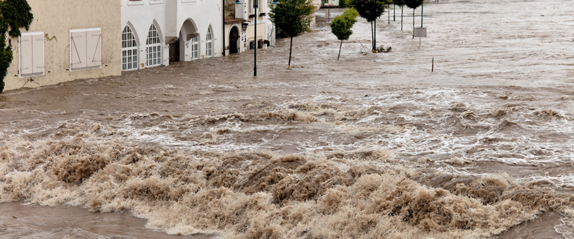
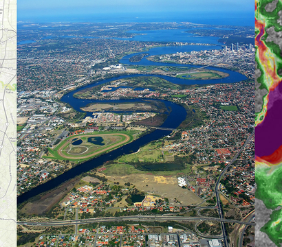
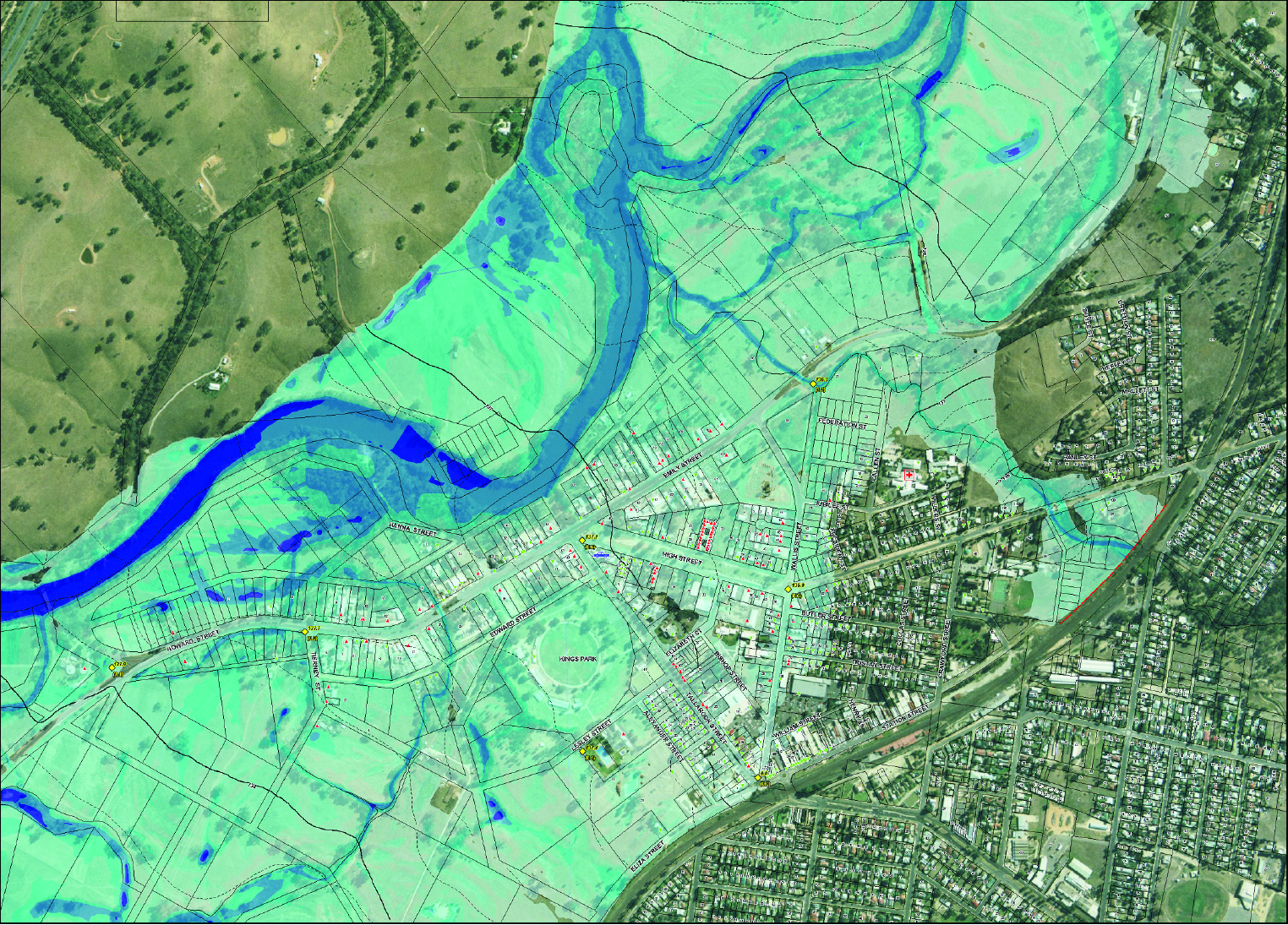
Hydrology and Flood studies are often the first step towards understanding and managing flood behaviour, and our investigations can make sure that this crucial stage is not only insightful and comprehensive, but clearly communicated.

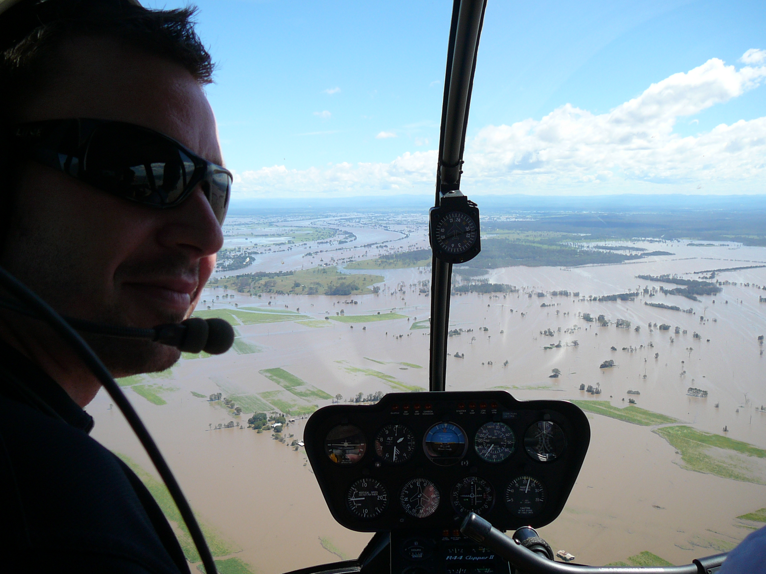
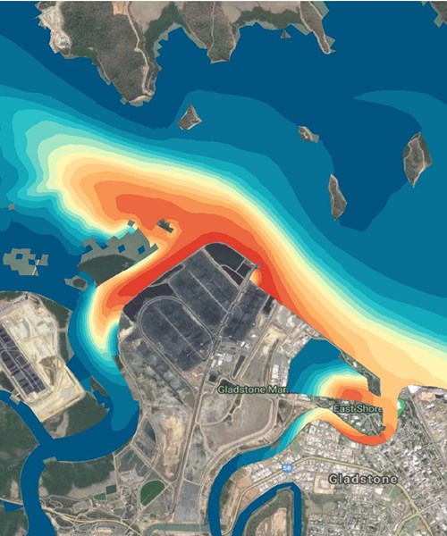
We have extensive experience in hydrologic and hydraulic studies, using a wide range of modelling software, including TUFLOW, our proprietary world-leading numerical model.

Our services

  • 2D/1D and 2D flood modelling of rivers and creeks
  • Rainfall-runoff (hydrological) modelling
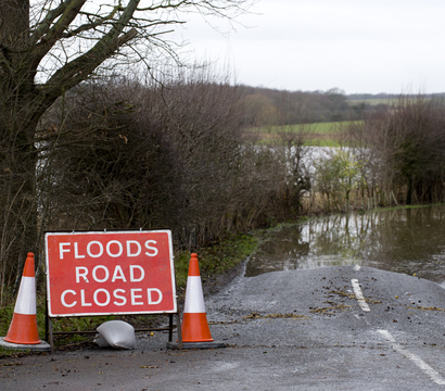
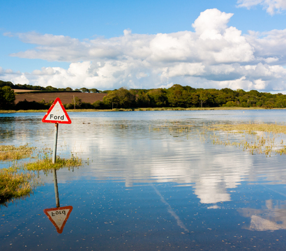
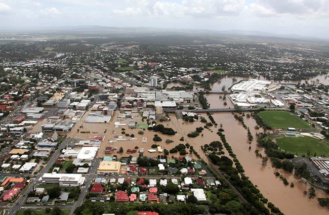
  • Flood impact assessment
  • Flood mitigation
  • Flood forecasting and intelligence
  • Linear infrastructure flood assessment
  • Flood guidelines, adaptation and planning
  • Dam break analysis
  • Flood data collection and interpretation Training and peer review

We apply best-practice approaches and often lead the development of industry best-practice methods. We provide actionable insight for developers, governments and communities.

Flood forecasting and intelligence

When considering future events including intense storms and flooding associated with climate change, the ability to forecast impacts and plan accordingly is crucial. We offer specialist predictive services and software solutions such as FloodIntel to help communities identify and implement improvements to their planning and infrastructure systems.

Emergency management planning and response

We have a wealth of experience in supporting flood incident control centres and can offer valuable insight to emergency managers. We can use our flood forecasting software and assessments to predict likely flood impacts on critical infrastructure such as roads and to prepare flood warning communications. It can also be integrated with our planning model or used to inform traditional timeline assessments.

Flood risk and management

An environmental engineer in a helicopter looking out over a flooded area of land

Our detailed flood risk management plans consider economic, social, and environmental perspectives. Our programs achieve a high level of acceptance from affected communities and other stakeholders. Where you must consider relocation, our assessments reflect all the complex factors involved and use a GIS-based relocation planning model to support execution.

  • Development of practical floodplain management plans
  • GIS-based flood damage and relocation capability assessments
  • Options assessment for advancements and structural mitigation
  • Cost-benefit reviews of floodplain management options
  • The community survey, consultation and education
  • Flood risk and emergency response mapping
  • Consultation with town planners to better integrate flood planning controls
  • Relocation planning

Floodplain management

Our experience of providing support at flood incident control centres means that we can offer valuable insight to emergency managers.

We use information from our flood forecasting software and assessments to advise of likely flood impacts on critical infrastructure such as roads and prepare flood warning communications. It can also be integrated with our relocation planning model or used to inform traditional relocation timeline assessments.

Natural hazards pose a significant risk to communities, threatening personal safety, damaging homes and infrastructure and disrupting lives. This risk will increase as natural hazards become more frequent and severe due to climate change.

We have developed a suite of emergency management options to help governments, emergency managers, and communities better understand, manage, and respond to natural hazards.

We have extensive experience assisting governments and emergency services improve the response to natural hazards.

Our past work developing warning and forecasting systems has ensured that communities have greater resilience and better respond to hazards. Our real-time support has helped emergency services predict flood levels and consequences and make important relocation decisions during disaster events.

  • Development and hosting of web-based information and online mapping (Flood Intel)
  • Provision of real-time assistance during flood events to incident control centres
  • Development of flood forecasting systems and integrated decision support systems (Delft-FEWS)
  • Collection of post-event data, including flood levels, physical evidence, and interviews
  • Reviewing, improving, and developing flood warning systems
  • Relocation planning using specialised water circulation studies and hydraulic modelling

Projects

Water and Environment UK