Reservoir Flood Modelling, United Kingdom
In 2010, the Environment Agency produced Reservoir Flood Maps (RFM) for large raised reservoirs at a national scale across England and Wales.
In 2010, the Environment Agency produced Reservoir Flood Maps (RFM) for large raised reservoirs at a national scale across England and Wales.
Client: Environment Agency
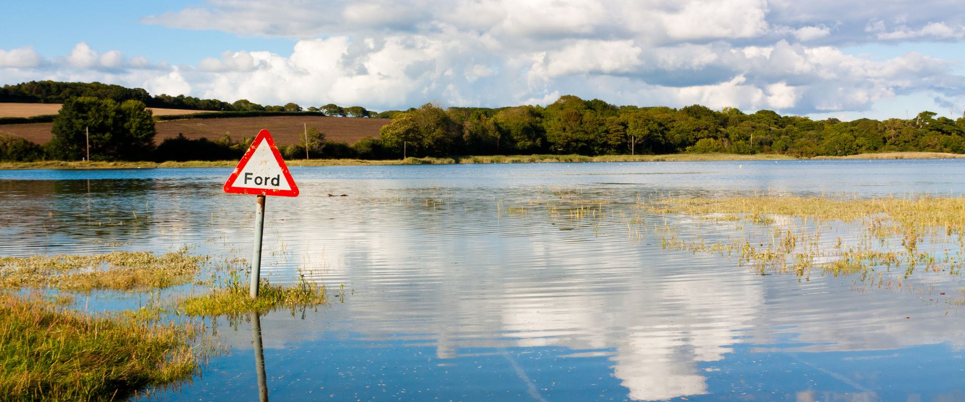
In 2010, the Environment Agency produced Reservoir Flood Maps (RFM) for large raised reservoirs at a national scale across England and Wales. Those maps are used to inform a range of applications including emergency planning, reservoir risk designation, spatial planning and community awareness. BMT with partners JBA and Mott McDonald are delivering a major update of these maps using latest advances and innovations in software and hardware to reflect technical advances in dam break analysis, hydrology, computational hydraulic flood modelling and digital terrain models.
The primary users of the Reservoir Flood Maps are Local Resilience Forums (LRFs). LRFs use these maps for emergency planning to prevent or mitigate impact on local communities. Outputs will also be used by reservoir owners, panel engineers, spatial planners and the community to assess the possible consequences of dam failure. To produce high resolution, national-scale maps as efficiently as possible, the project team harnessed the benefits of a secure, cloud-based solution together with bespoke coding to maximise automation of workflows.

The Brisbane River Catchment Flood Study is the most detailed and comprehensive flood study ever undertaken in Australia. The hydraulic models that were developed underwent rigorous calibration. A sophisticated Monte Carlo approach was used to hydraulically model 11,340 flooding scenarios. The result was a robust and defendable set of design events. The study was fully peer reviewed by a panel of independent experts.

We were appointed to review the methodology and modeling to inform a Flood Risk Assessment in Essex.
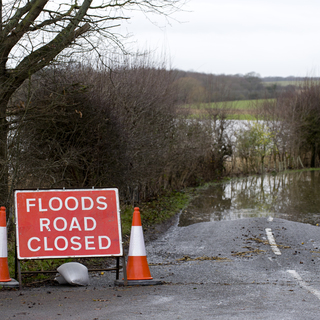
Surface water flood modelling study to determine baseline flood risk through a rural village which is located downstream of a proposed Power Company development site.
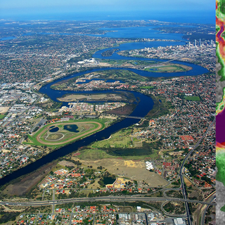
A comprehensive study of the flood behaviour and flood risk of the Swan and Helena Rivers and preparation of a floodplain development strategy.