Brisbane River Catchment Flood Study – Comprehensive Hydraulic Assessment
The Brisbane River Catchment Flood Study is the most detailed and comprehensive flood study ever undertaken in Australia.
The Brisbane River Catchment Flood Study is the most detailed and comprehensive flood study ever undertaken in Australia.
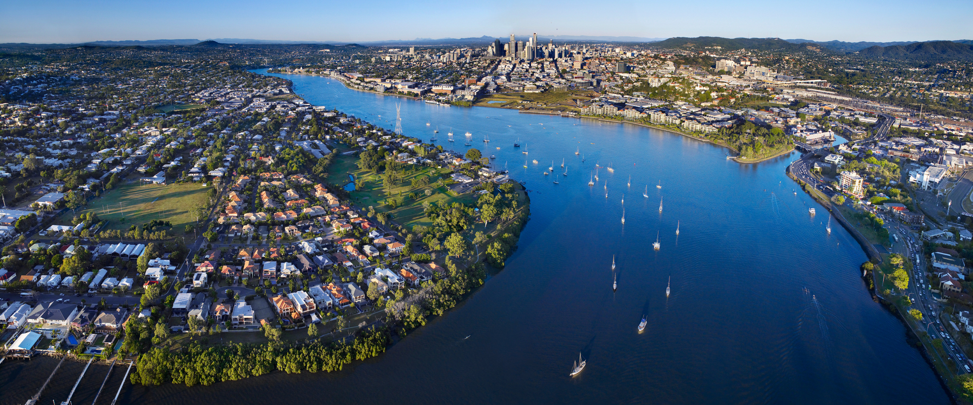
The Brisbane River has a catchment area of over 13,600km2 with a long history of flooding. Following the devastation caused by the 1974 flood event, Wivenhoe Dam was constructed in the Brisbane catchment for the dual purpose of water supply and flood mitigation. The 2011 flood event peaked approximately 1 metre lower than the 1974 event in Brisbane City but caused widespread property damage in the catchment. The Brisbane River Catchment Flood Study (Comprehensive Hydraulic Assessment) is a critical step toward developing a Strategic Floodplain Management Plan for the region. We delivered the hydraulic assessment component of the study.
The Brisbane River Catchment Flood Study is the most detailed and comprehensive flood study undertaken in Australia, and potentially the world. The leading-edge hydraulic modelling (using our TUFLOW software) was successfully calibrated to thousands of flood marks and hydrographs. Due to the complexity of the physical system, methodologies developed for the study were innovative and more comprehensive than current standard practice. A Monte Carlo approach was used to account for the variability in flood producing factors in the catchment. The result is an integrated suite of hydraulic models, rigorous calibration to historical events, and modelling of a comprehensive range of design events to define flood behaviour. Outputs of the study will be used to inform the Strategic Floodplain Management Plan, also by us.
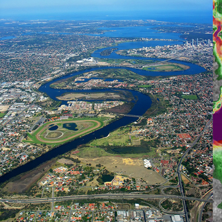
A comprehensive study of the flood behaviour and flood risk of the Swan and Helena Rivers and preparation of a floodplain development strategy.
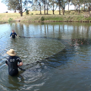
Recognising rapid urban growth in the Local Government Area, Moreton Bay Regional Council has identified the need to augment the Brendale Wastewater Treatment Plant (WWTP) to account for this future growth.
Environmental risk assessment of siltation dredging and dredge material management.
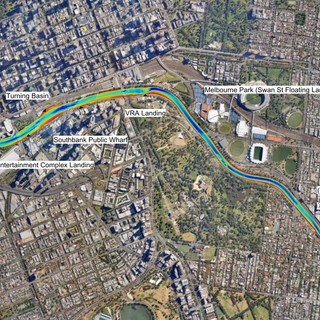
As part of a larger revitalisation plan a new transport system operating along the length of the Singapore River from Kim Seng to the new Merlion Park will be introduced for locals and tourists. BMT was commissioned to undertake a marine risk assessment.