Tootgarook Wetland Ramsar Nomination Feasibility Study
Assessment of the wetland meeting the Ramsar nomination requirements
Customer: Mornington Peninsula Shire
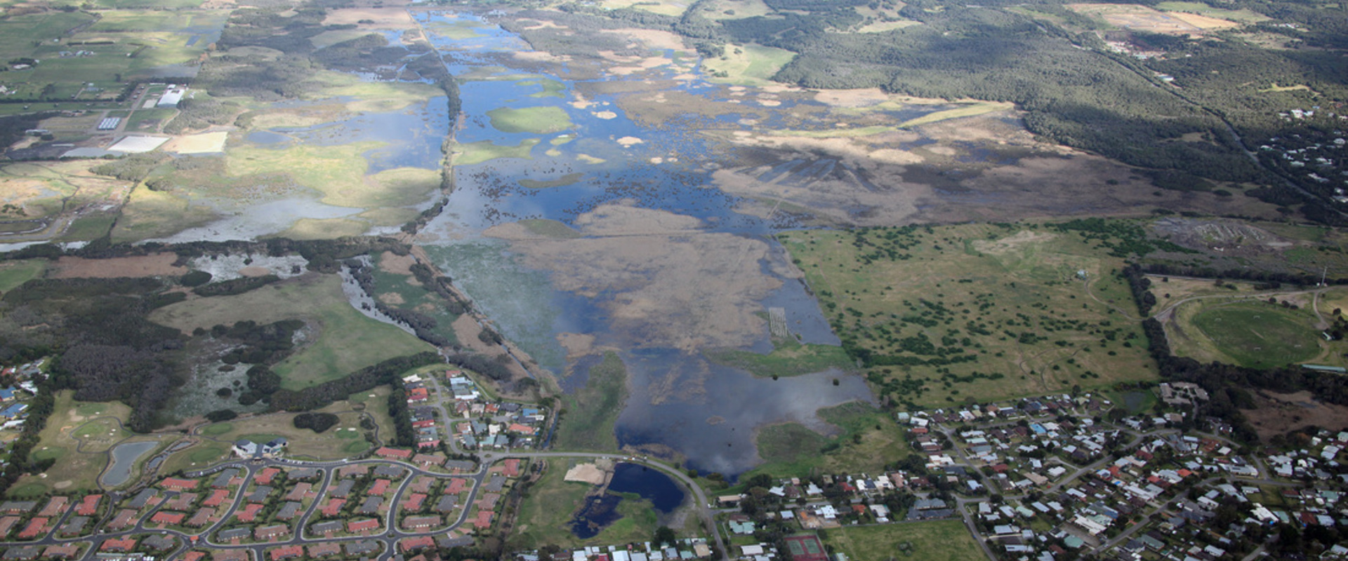
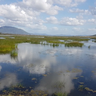
The Tootgarook Wetland is located on the Nepean Peninsula and contains high biodiversity values and provides a variety of ecosystem services/benefits. It is considered a regionally important example of a Groundwater Dependent Ecosystem and supports a range of endangered and vulnerable Ecological Vegetation Classes. It also supports endangered or threatened in Victoria, and the Australasian Bittern (Botaurus poiciloptilus), a Commonwealth listed endangered species.
We were engaged to assist the Shire in confirming whether the Tootgarook Wetlands is likely to satisfy the Ramsar listing criteria and provide advice and on the costs and benefits of seeking Ramsar nomination compared with other options.
The completion of an ecological character description (ECD), confirmed that the Wetland’s ecological character in terms of critical and supporting components, processes and services/benefits are likely to satisfy the Ramsar listing criteria. However, a review of the limitations to Ramsar listing in Victoria suggested that it was not the best option for the protection of the Wetland at the time of study.
The findings of this study were used by the Shire to shape the direction of the future management of the Wetland. This includes the establishment of the Tootgarook Wetland Management Plan that, in partnership with Conservation Volunteers, we have established to secure the future of the Wetland.

As a party to the Convention on Wetlands of International Importance (Ramsar Convention), Australia is required to meet its obligations under the Convention in terms of reporting, management planning and provision of supporting information on Ramsar-listed wetlands.

We were appointed to develop a Masterplan for a new port at Hon Gai in Vietnam.

We delivered a feasibility study for a proposed dry dock on the Karnafuly river in Bangladesh, which will facilitate ship repairing, ship building an dry docking of ocean-going vessels up to 100,000 DWT.

We were appointed to undertake a regional study to assess the commercial potential of the development of a marine waste collection and reprocessing network.