Requirements
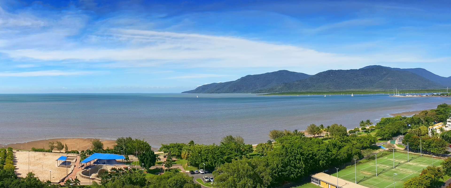
Customer: Cairns Regional Council
We have led the development of coastal hazard maps (sea level rise, storm tide inundation and erosion) for the City of Cairns in Far North Queensland and used this information to undertake a risk assessment of assets and infrastructure of the City under three timeframes (current, 2050 and 2100), incorporating climate change projections.
Solutions
In line with the objectives and aims of the Queensland Coastal Hazard Adaptation Strategy [CHAS] program, the project assessed climate change risks of 1034km of sealed roads, other linear infrastructure (water supply, sewer, drainage) and a broad range of commercial, public and private assets in the City. Disaster Management Coordinators in the region (including all levels of government and key stakeholders) were engaged to ensure uptake and effective response to the information. Stakeholder workshops were also held with a broad range of stakeholders to discuss risks, opportunities and options.
Benefits
The hazard mapping developed provides the City and Disaster Managers with a detailed understanding of future risk from a range of coastal climate change impacts including erosion, storm tide and permanent inundation from sea level rise, both individually and cumulatively. This project will also include identifying coastal hazard adaptation options for the Cairns Regional Council. This will include the provision of guidance on land use planning and responses.