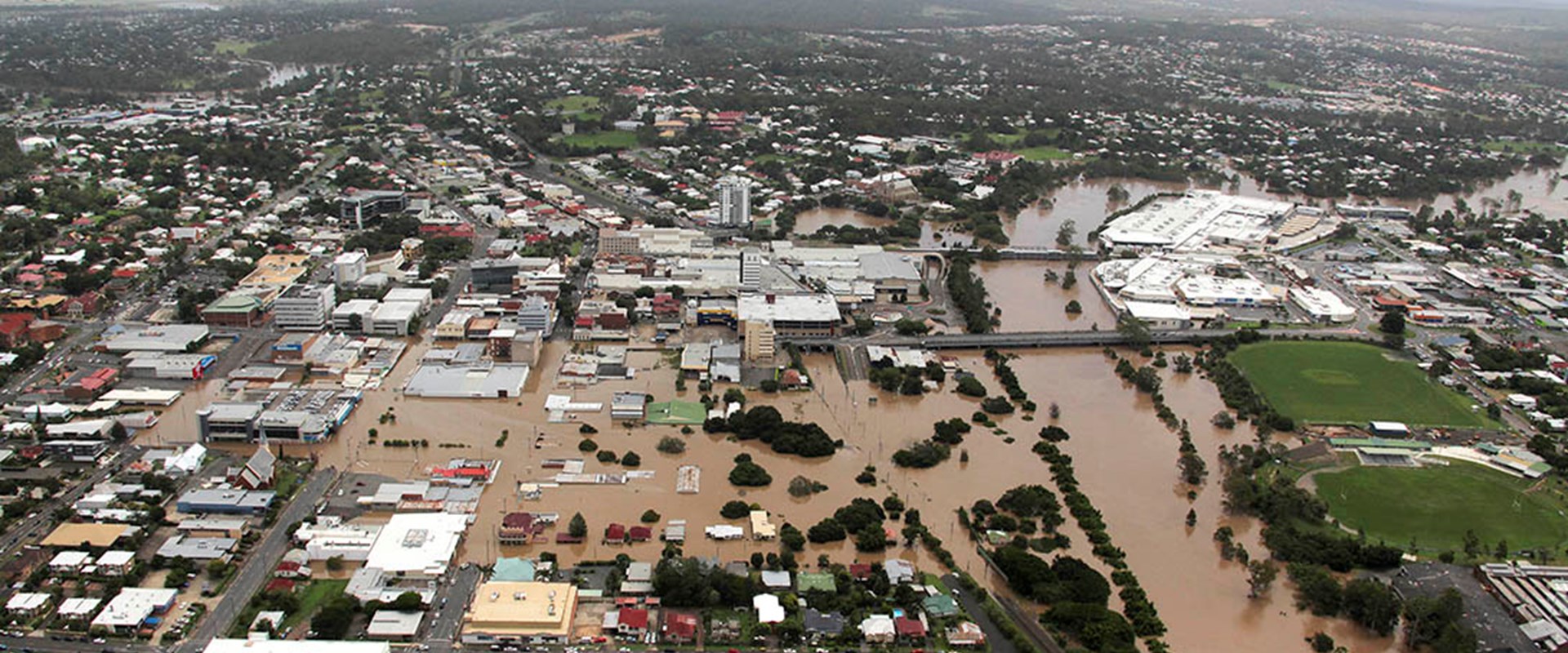
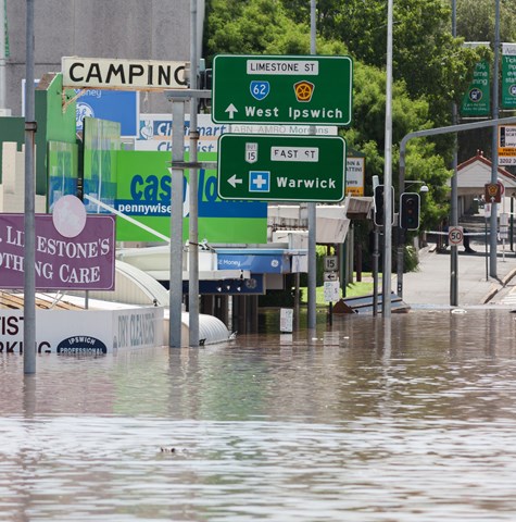
Ipswich City Council in Queensland was faced with precisely that problem – they needed a significant overhaul of their flood models and maps at a high resolution and across a large area. Still, there wasn’t any single modelling software that was up to the task. While the old solution entailed running multiple separate models and then combining the results, that was an inefficient process that invariably introduced its issues.
Thankfully we were on hand to help with TUFLOW HPC in one of the first applications of its kind for a catchment scale study. Now established as a world-leading numerical model, our innovative in-house flood, urban stormwater, and coastal simulation software is the benchmark modelling tool for supporting floodplain management. It provided accurate modelling across a large area and at a high resolution, vastly improving the Council’s flood mapping and providing critical information to assist flood disaster management and future planning.
We provided the first catchment-scale model to realise the benefits of TUFLOW HPC. It meant that a single model could be developed, giving Ipswich a clearer picture of how to better plan and respond to one of nature’s most destructive events and help save lives in the process.