Requirements
Customer: Essex County Council
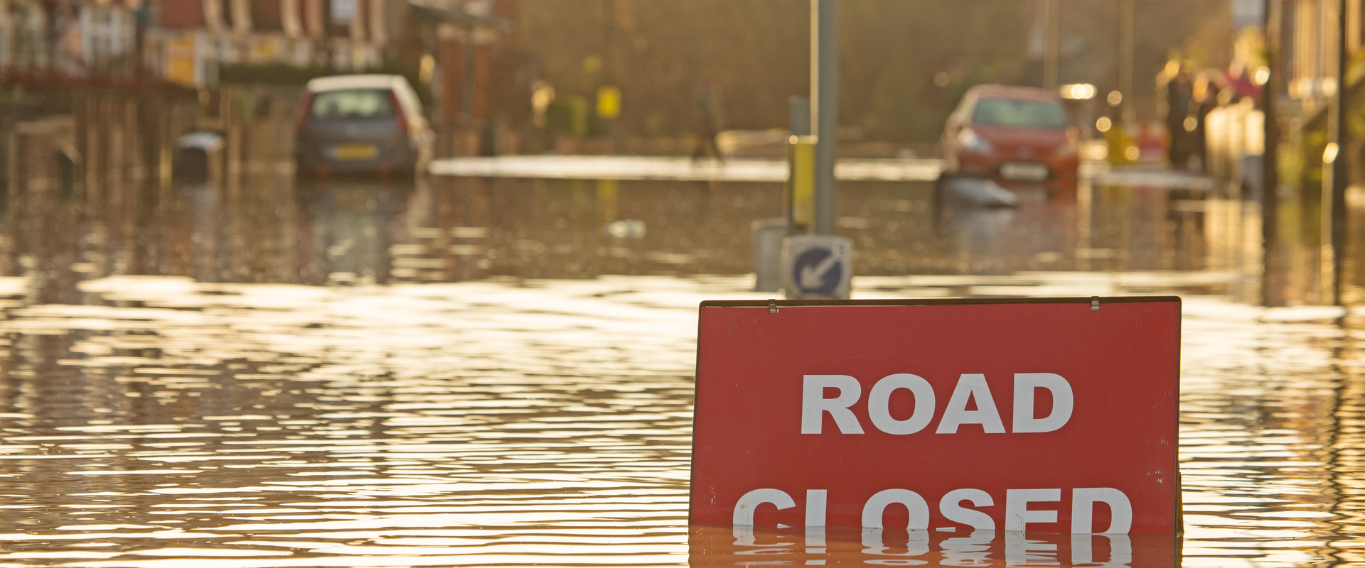
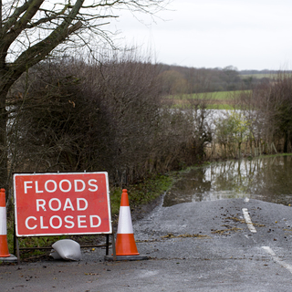
The surface water flood mechanics and associated risk is poorly understood in Clacton-on-Sea and Sawbridgeworth beyond national scale mapping. The SWMPs are an important component of the County Council’s local flood risk management strategy, required under the Flood and Water Management Act. 2010. SWMPs provide a key tool in helping the Environment Agency and Lead Local Flood Authorities (LLFAs) strategically plan to mitigate surface water flood risk in the respective catchments.
Solutions
In-line with DEFRA guidance, the SWMP adheres to the four-phase approach of delivery. 1. Preparation - identify need for a SWMP study, its scope and a partnership for its delivery. 2. Risk Assessment – data collection, review and creation of an Integrated Urban Drainage (IUD) model to map and communicate flood risk. 3. Options Appraisal – short-listing preferred mitigation measures and investigating the economic feasibility of the schemes. 4. Implementation and Review.
The creation of an IUD model for the two catchments using the latest hydrological guidance, to inform the rainfall application in the model provided an innovative approach in assessing surface water flood risk. ReFH2.3 was used to calibrate rainfall and runoff to local catchment soil conditions. Sensitivity analysis was undertaken to quantify the variation in model outputs based on adjustments to blockage, floodplain roughness and tidal boundaries where appropriate.
Benefits
Predicted property counts and economic damage estimation for the baseline and mitigation scenarios have been completed to understand potential benefits within the identified Critical Drainage Areas (CDAs). The proposed mitigation measures included flood attenuation basins and bunds and Property Level Protection. This information has been used to rank the potential benefit cost ratios of schemes within the respective CDA’s across both catchments, to aid in future strategic decisions around the allocation of available funds.
Services and expertise provided:
- Hydraulic Modelling.
- Hydrological Assessment
- Option Feasibility & Economic Appraisal
- GIS Mapping