Suffolk Outline Benefit Assessments
Surface water flood modelling for 5 catchments identified as potential flood hotspots within Suffolk County.
Surface water flood modelling for 5 catchments identified as potential flood hotspots within Suffolk County.
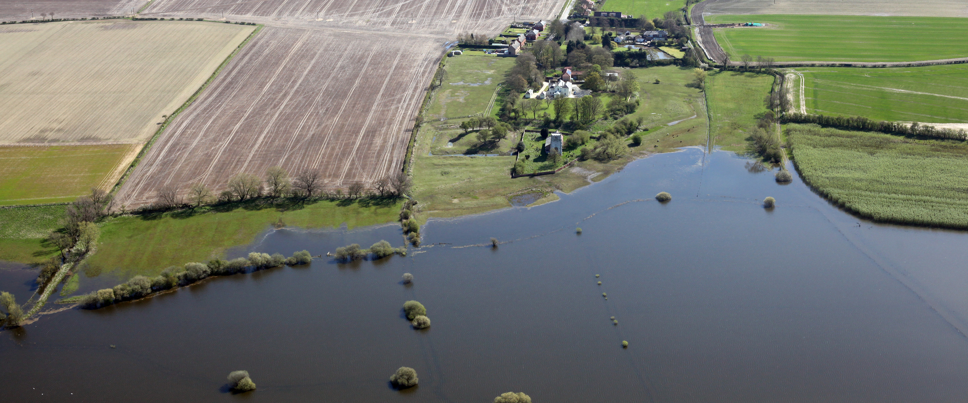
Suffolk County Council and the Environment Agency required a more thorough assessment demonstrating a clear understanding of the flooding mechanisms within the 5 catchments in Suffolk. These locations have all be classified as flooding hotspots by Suffolk County Council. The information from the hydraulic modelling will be used to derive outline mitigation measures that are robust and targeted to provide the greatest benefit.
High resolution surface water flood models have been created to aid better understanding of flooding mechanisms within each catchment. The most up to date hydrological guidance was used to inform the rainfall application in the model. ReFH2.3 was used generate the rainfall hyetographs from the Flood Estimation Handbook catchment descriptors. The 2-year peak flow from the catchment descriptors which was then calibrated to a nearby gauge. To match the peak flow at the gauge the soil moisture content from the catchment descriptors was adjusted. Using this adjusted soil moisture content, rainfall hyetographs were created for 9 rainfall events. The outputs of the hydraulic models have been used to identify economically feasible flood mitigation measures that could potentially be implemented within each catchment. Predicted inundated property counts and economic damage estimation for the Baseline, Do Nothing and mitigation scenarios have been completed to the understand potential benefits. The proposed mitigation measures include flood attenuation basins and bunds, Natural Flood Management measures and Property Level Protection. The information has been used to identify locations along with potential costs and benefits for flood mitigation schemes. Partnership Funding Calculations were completed for each catchment to find the amount of government funding that could be requested for the proposed mitigation schemes. Detailed mapping of maximum flood depths, hazard and velocity have been created.
Hydraulic Modelling
Hydrological Assessment
Option Feasibility & Economic Appraisal
GIS Mapping
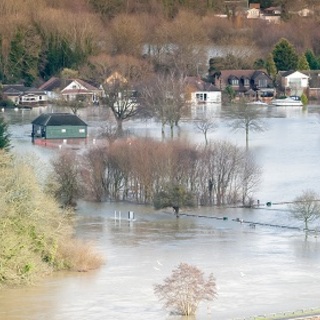
Surface water flood modelling for 12 catchments identified as potential flood hotspots within Suffolk County. The model results will be used to update the Environment Agency (EA) Risk of Flooding from Surface Water (RoFSW) mapping.
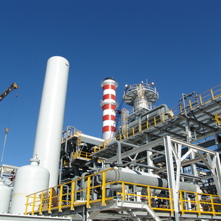
We were commissioned by an International Gas Supplier to conduct an Explosion Impact and Vent Dispersion study for three proposed hydrogen plants to assess the explosion overpressure impacts due to catastrophic failure of selected equipment.