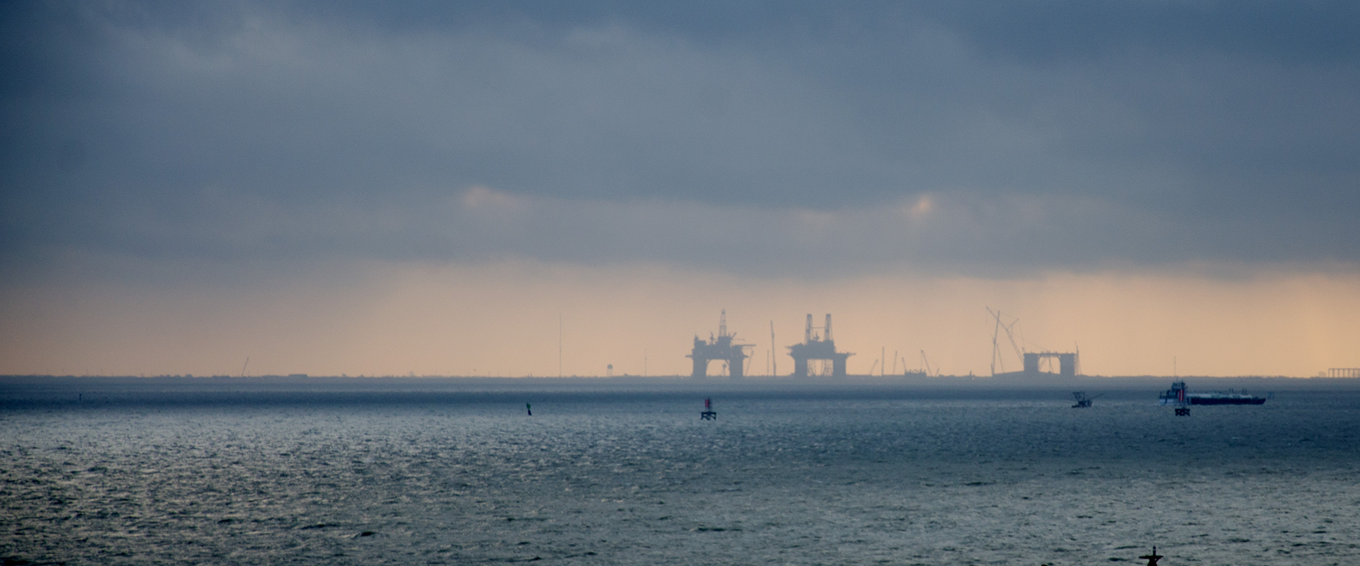
During extreme weather events, such as Hurricanes, Tropical Storms and Typhoons, it is common to shut down offshore assets' operations and evacuate personnel to safety. Platforms are then monitored remotely by engineers and asset managers. These monitoring systems enable them to quickly respond to any damage to the asset or know when it is safe to return to the operations team. Having accurate and reliable data from different sensors is critical to resume operations quickly.
Environmental and asset data
Remote monitoring systems collect and transmit data collected from several sensors that have been installed on offshore assets. These can be broadly split between two types of data: sensors that measure the integrity of the support and those that monitor environmental conditions. Both types of data are used to understand the immediate state of the asset and how operators should respond.
Wind speed is one of the most critical environmental data sets to measure. It is what drives the requirements for inspection. A remote monitoring system that can accurately measure wind speed enables operators to prepare for the correct level of assessments quickly.
Jeffrey Lewis, Technical Advisor at BMT, has been helping organisations monitor their offshore assets for nearly two decades. He said,
“One of the most critical aspects of managing an asset during the tropical storm season is the need to understand what category of hurricanes has hit the platform. In the Gulf of Mexico, that is basically a wind speed measurement and depending on what category of hurricane hits the platform, operators need to respond with certain levels of inspection.”
Another critical environmental data set is wave height. It's important to monitor if waves are big enough to hit the platform and damage the deck. Platforms in the Gulf of Mexico have a typical deck height.
The most common concern for floating offshore platforms is mooring lines. A lot of our customers' structures are going into ultra-deep water. They are using advanced mooring systems, and they want to have the assurance that the mooring system is performing the way they expect. If you can tap into measurements of the mooring lines to detect breakage or tension levels, this can provide assurance. The integrity of the mooring system is critical to keeping the platform in its location and contributing to the stability of the asset, so they are essential to monitoring. After that, there is always the platform's position, as it can tell you quite a lot. It's not a direct measurement of what's happening with the platform, but if it's on location and upright, you can get that single measurement that tells you it's OK.
If something changes, you may need additional instrumentation to identify the source of the issue. So, at a high level, just measuring the position and the motions gives you that one-stop-shop of the platform's integrity.
A general view of what is happening on the platform can also inform operators of the asset's condition, for example, installing a camera system that provides images of the helideck, the rig or the moon pool, or various places potentially subject to damage.
One monitoring system collecting the above data sets or one asset monitoring platform consolidating data from multiple sources can improve operators' ability to respond to extreme events, such as hurricanes.