For the City of Moreton Bay, sustainable coastal management is vital to protect the popular Woorim Beach from persistent erosion. Since 2019, a temporary land-based sand backpassing system has been trialled to address sediment movement challenges along this stretch of coastline. Our recent evaluation project assessed the effectiveness of this trial and explored future nourishment strategies to safeguard the shoreline’s recreational and environmental values.

Project overview
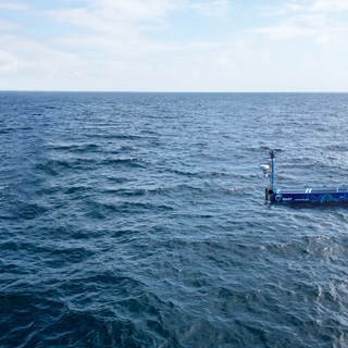
The Woorim coastline in south east Queensland has a long history of erosion, traditionally managed through nearshore sand nourishment delivered by boat. Technical investigations recommended a land-based sand backpassing facility to transfer sand from the beach south of the developed area to the north, aiming to restore sediment balance more efficiently. Our project, commissioned by the City of Moreton Bay, reviewed the backpassing trial and modelled various nourishment options to determine their relative effectiveness.
Scope of work
Our assessment was conducted in consultation with the Queensland Department of Environment, Tourism, Science and Innovation, covering the following key activities:
-
Reviewing extensive datasets including wind and wave conditions, satellite shorelines, beach surveys, and sand pumping volumes
-
Developing a high-resolution, well-calibrated coastal modelling suite capable of simulating sediment transport and shoreline evolution over timescales from days to years
-
Comparing the backpassing system’s performance against nearshore nourishment options using a range of environmental, recreational, and coastal protection criteria
-
Generating spatially and temporally detailed beach profile predictions to inform ‘performance outcomes’ such as coastal protection from design storms and recreational beach amenity
Addressing the complex interactions of waves and currents on sediment transport, we employed a multi-scale modelling approach combining a detailed hydrodynamic sediment transport model with a shoreline evolution model for longer-term scenario analysis. This approach allowed us to capture both short-term storm impacts and chronic erosion patterns accurately. Integrating multiple datasets ensured robust model calibration and validation, supporting reliable option assessments for future coastal management.

Key benefits and outcomes
Our findings identified that a 5-yearly nourishment pattern outperformed both the 3-yearly and backpassing options in delivering optimal coastal protection. The evaluation also refined the optimal annualised sand volume required for sustainable beach nourishment, enabling the City of Moreton Bay to plan proactive, cost-effective management strategies.
Additional insights highlighted during the project included the value of integrating diverse data sources to gain a holistic understanding of the coastal processes. It was emphasised that full-profile beach surveys remain the gold standard for monitoring, ensuring the most accurate and reliable data.
The project reinforced the importance of aligning model complexity with the complexity of coastal processes, ensuring that simulations accurately reflect real-world conditions. Finally, it became clear that backpassing requires a control structure, such as a groyne, to be effective and may not be a suitable solution in areas where downdrift regions are highly valued.